AIHRG Design
About Us
Privacy Policy
Tag Cloud
Terms of Use
Tag:
cartography
This unique world map displays a 3D representation of global population data, featuring colorful spikes and textures that highlight different regions. The design is both artistic and informative.
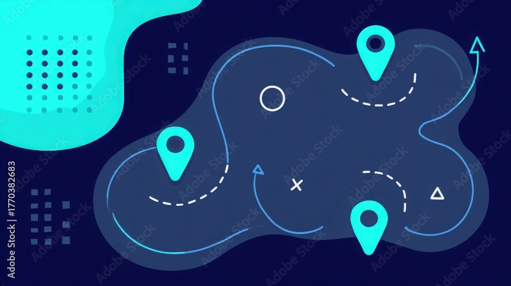
A vibrant map with various routes and location markers. The design utilizes blue tones with abstract shapes in the background, creating a contemporary feel.
A person stands by a yellow car, reading a map while looking at various routes marked with colorful pins. Trees and mountains surround the scene, indicating an outdoor adventure.
A textured map of the world is displayed on a light-toned surface. The continents are lightly outlined in muted tones, creating a soft but clear representation of global geography.
A detailed world map is carved into a textured surface, highlighting the continents and outlining geographical features. The design emphasizes the global layout in a minimalist style.
A drone is positioned on an antique map showcasing the Mediterranean and Middle Eastern territories, emphasizing its role in modern surveillance and reconnaissance operations in these areas.
A modern drone rests on an intricate vintage map, highlighting geographical features. The sunlight casts soft shadows, enhancing the vintage details of the terrain and its markings.
A detailed model of a drone is positioned on a world map, highlighting various countries in Africa. The soft lighting creates an atmosphere of exploration and innovation in aviation.
A drone hovers above a detailed map highlighting various locations with markers. The setup suggests a planning session for aerial surveys or inspections. The map shows urban and rural areas.
A drone hovers above a detailed map of the United States, showcasing geolocation markers and connectivity signals. The technology highlights modern navigation and mapping capabilities.
1
2
Next Page
We use cookies to ensure that we give you the best experience on our website. If you continue to use this site we will assume that you are happy with it.
Ok