AIHRG Design
About Us
Privacy Policy
Tag Cloud
Terms of Use
Tag:
geography
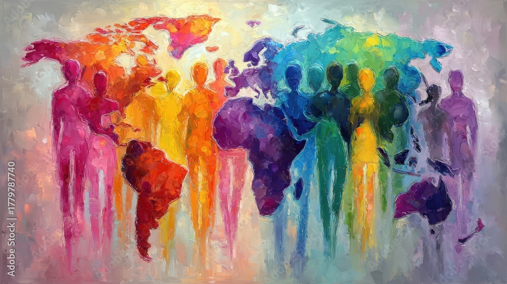
A vibrant world map showcases silhouettes of people in various colors, symbolizing unity and diversity. The design blends art and geography, promoting a message of togetherness across continents.
A group of colorful silhouettes stands together, each shaded in various hues. The figures symbolize unity and diversity, while outlines of continents are visible, showcasing a global connection.
Silhouettes of people in various colors stand before an abstract world map. The background features vibrant areas representing continents, conveying a sense of unity among diversity.
Diverse figures gather around a vibrant world map, symbolizing unity and collaboration across cultures. The colorful silhouettes highlight the importance of global connections and understanding.
Colorful silhouettes of people stand together, each filled with vibrant world map patterns. This artwork symbolizes diversity, unity, and global connection, showcasing a harmonious blend of colors.
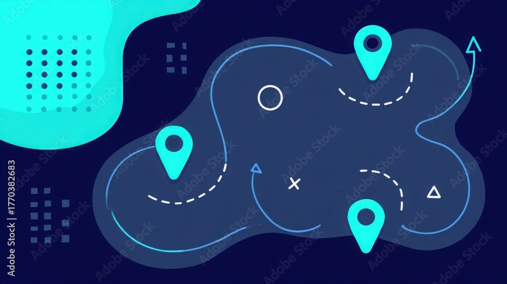
A vibrant map with various routes and location markers. The design utilizes blue tones with abstract shapes in the background, creating a contemporary feel.
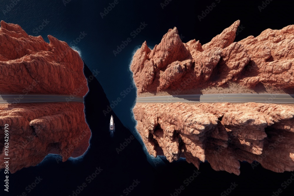
Scenic view of rugged red cliffs rising from tranquil waters. A yacht moves through the narrow channel, highlighting the beauty of natures formations at midday.
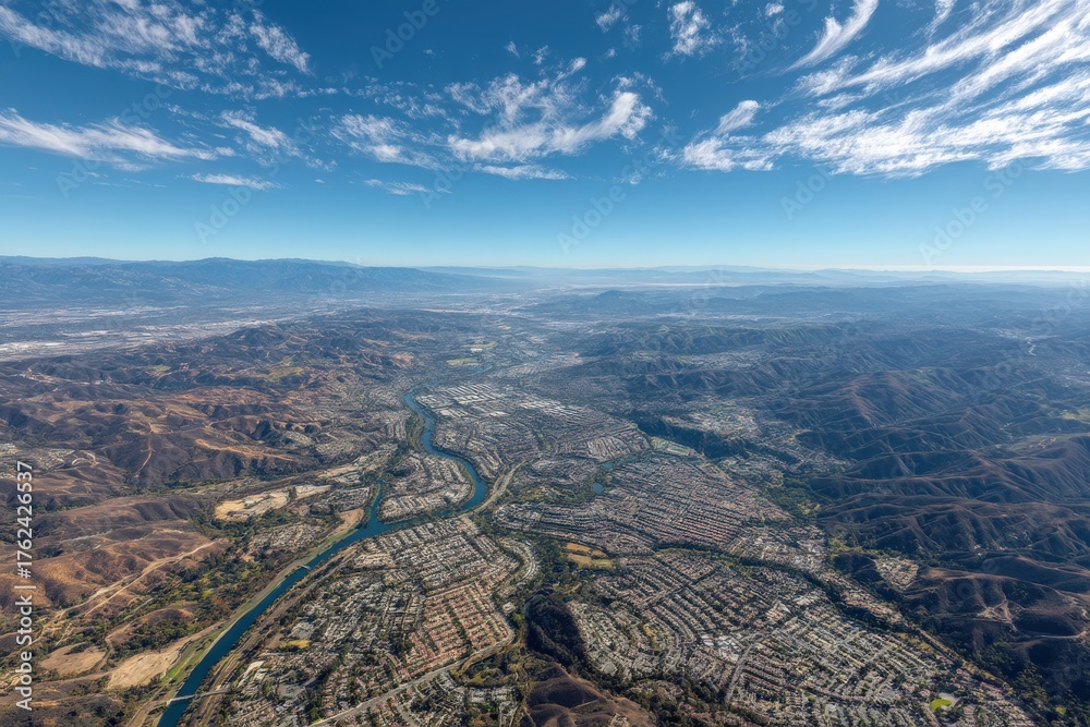
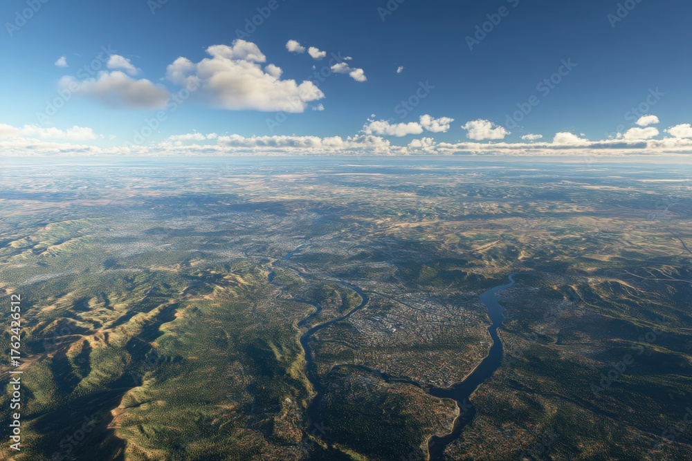
An expansive aerial view of a valley with a river winding through a suburban area. The mountains in the background highlight the natural beauty of the region under a clear blue sky.
A vast landscape stretches out below, showcasing mountains, valleys, and winding rivers. Fluffy clouds drift in the clear blue sky, highlighting the natural beauty of the terrain during daylight.
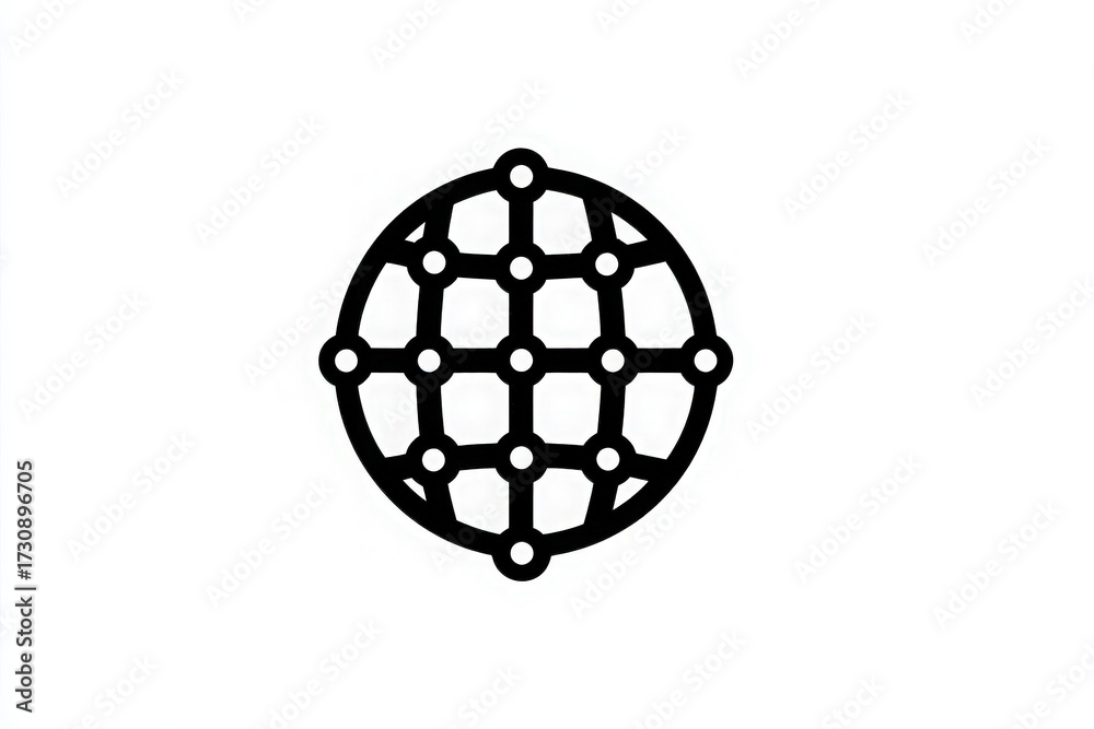
A black and white illustration of a globe with a network pattern made up of dots and lines. This design symbolizes global connectivity and the interconnectedness of different locations.
1
2
3
…
7
Next Page
We use cookies to ensure that we give you the best experience on our website. If you continue to use this site we will assume that you are happy with it.
Ok