AIHRG Design
About Us
Privacy Policy
Tag Cloud
Terms of Use
Tag:
geography
A small bridge arches over a gentle stream, with water flowing calmly beneath it. This serene landscape captures the beauty of nature, inviting peaceful reflections.
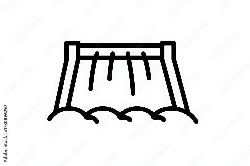
Water rushes over the dam, creating waves and splashes at the bottom. The structure stands tall against a clear sky during daytime, highlighting the power of nature and engineering.
A textured map of the world is displayed on a light-toned surface. The continents are lightly outlined in muted tones, creating a soft but clear representation of global geography.
A detailed world map is carved into a textured surface, highlighting the continents and outlining geographical features. The design emphasizes the global layout in a minimalist style.
In an industrial space, two business professionals in suits closely examine a world map. Their focused discussion suggests a strategic planning session centered on global operations and logistics.
Majestic waterfalls cascade down rocky cliffs, surrounded by thick greenery and vibrant blue skies.
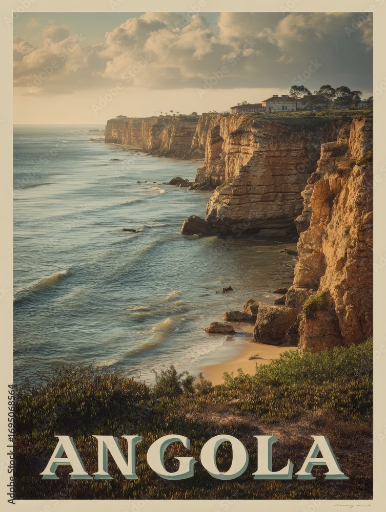
The coastline of Angola is shown with layered sandstone cliffs overlooking the ocean. Gentle waves lap at the base of the cliffs, with lush vegetation in the foreground under cloudy skies.
The rugged cliffs of Angola meet the ocean as the sun sets, casting a warm glow over the landscape. Waves crash against the rocks, creating a tranquil atmosphere that invites exploration.
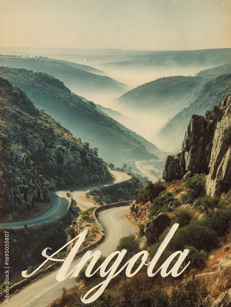
A winding road curves through misty valleys and mountains in Angola, creating a picturesque view at dawn. The landscape features rocky hills and lush vegetation with soft fog covering the terrain.
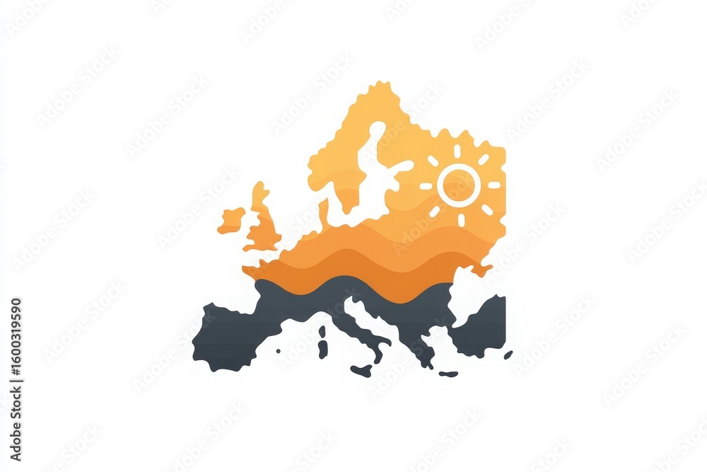
A stylized depiction of Europes map incorporates warm hues and a sun symbol. The artwork demonstrates abstract waves and outlines geographic features, emphasizing creativity.
Previous Page
1
2
3
4
…
7
Next Page
We use cookies to ensure that we give you the best experience on our website. If you continue to use this site we will assume that you are happy with it.
Ok