AIHRG Design
About Us
Privacy Policy
Tag Cloud
Terms of Use
Tag:
geography
This artistic depiction showcases the map of the United States filled with colorful icons and symbols representing diverse activities and themes related to each state.
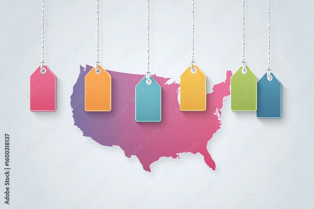
Colorful tags in various shades hang against a gradient map of the United States, showcasing a creative design that blends elements of geography and branding.
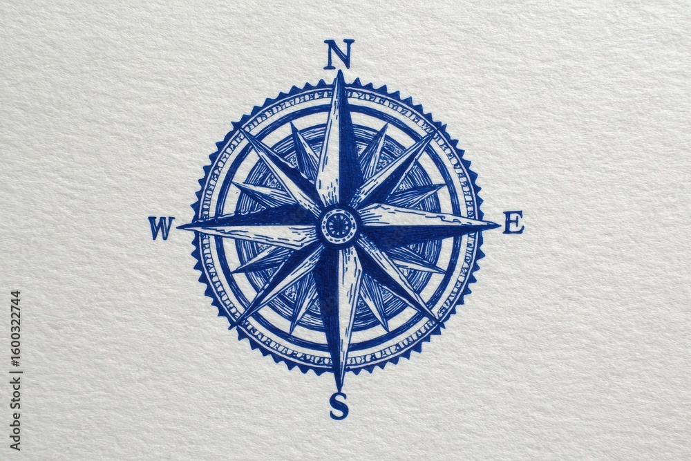
A detailed compass design featuring four cardinal points marked clearly. The compass is drawn in deep blue ink, set against a light, textured background, creating a classic look.
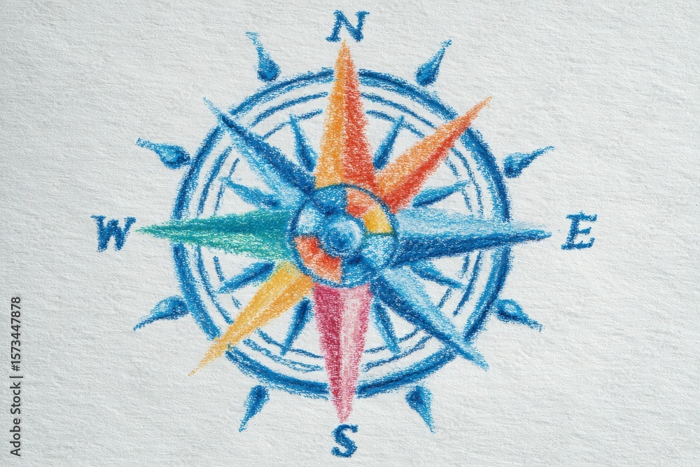
A colorful compass rose is illustrated on textured paper, showcasing multiple points in blue, orange, green, and red, highlighting the cardinal directions of north, south, east, and west.
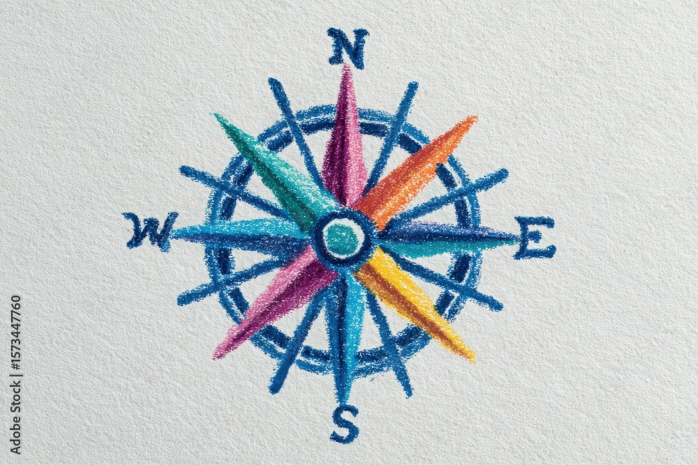
This artwork features a vibrant compass rose, displaying all cardinal directions in a gradient of colors.
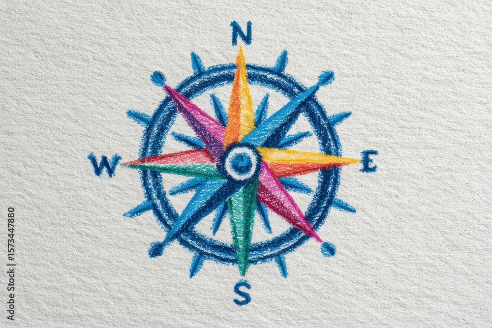
A colorful compass illustration features eight distinct points representing cardinal and intercardinal directions.
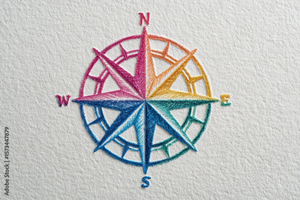
A vibrant compass design features cardinal directions with colorful arrows. The compass is centered on textured paper, showcasing shades of blue, pink, and orange, creating a striking visual impact.
A detailed map of the United States is adorned with vibrant tags in various colors. Each tag signifies a different location across the country, showcasing a creative and interactive display.
A map of the United States is featured with six colorful tags hanging from it.
A collection of flags from various nations is elegantly arranged on a dark curtain background.
Previous Page
1
2
3
4
5
…
7
Next Page
We use cookies to ensure that we give you the best experience on our website. If you continue to use this site we will assume that you are happy with it.
Ok