AIHRG Design
About Us
Privacy Policy
Tag Cloud
Terms of Use
Tag:
global positioning system
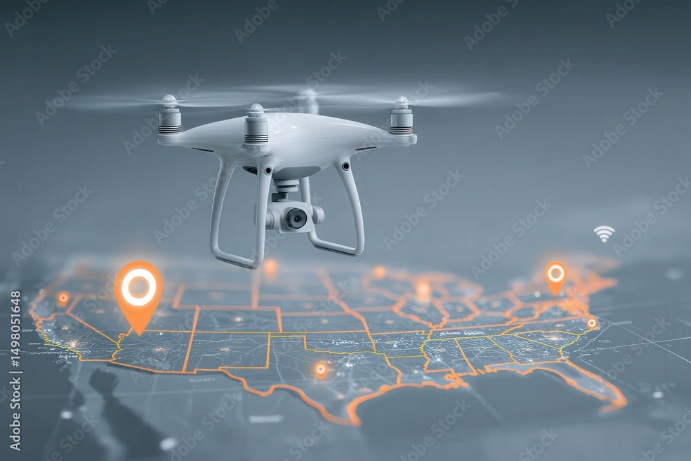
A drone hovers above a detailed map highlighting various locations with markers. The setup suggests a planning session for aerial surveys or inspections. The map shows urban and rural areas.
A drone hovers above a detailed map of the United States, showcasing geolocation markers and connectivity signals. The technology highlights modern navigation and mapping capabilities.
A smartphone rests on a sleek black surface, showcasing a glowing city map with intricate streets and pathways. The vibrant colors of the map emphasize connectivity and navigation.
We use cookies to ensure that we give you the best experience on our website. If you continue to use this site we will assume that you are happy with it.
Ok