AIHRG Design
About Us
Privacy Policy
Tag Cloud
Terms of Use
Tag:
landscape
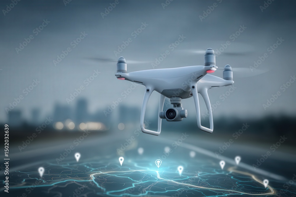
A drone hovers above a road, displaying location pins around it. This aerial view captures urban mapping and surveying activities, showcasing technologys role in modern navigation.
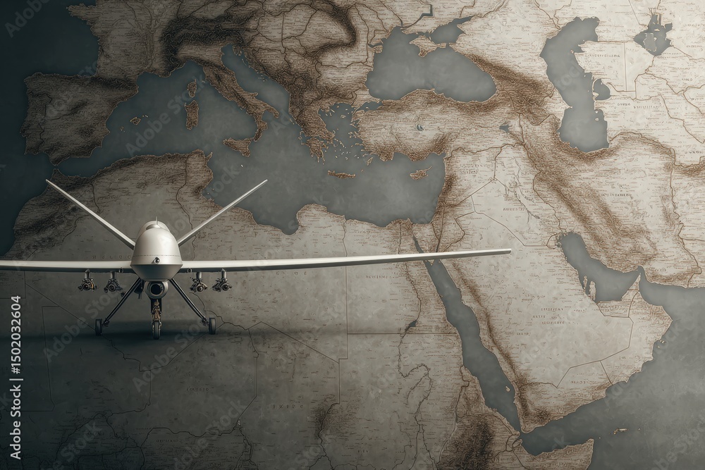
A drone is positioned on an antique map showcasing the Mediterranean and Middle Eastern territories, emphasizing its role in modern surveillance and reconnaissance operations in these areas.
A black-gloved hand towers above, firmly grasping a collection of different national flags, showcasing cultural diversity.
A stunning view of Asia lit up by city lights, showcasing the continents vibrant energy against a dark backdrop, evoking wonder and connectivity.
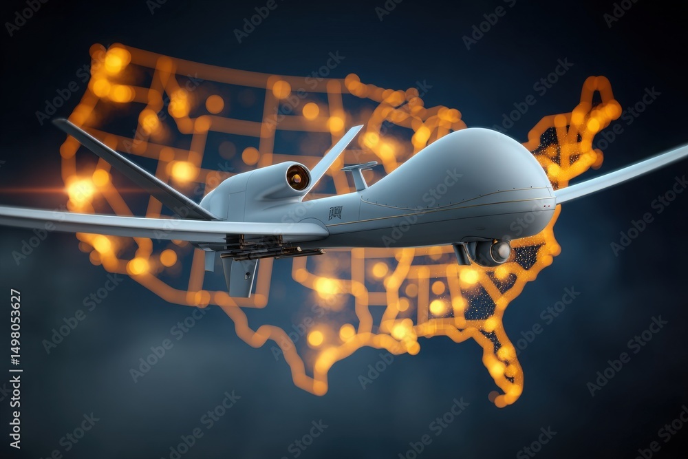
A drone is depicted flying above a glowing outline of the United States map, symbolizing advancements in aerial surveillance and monitoring technologies. The high-tech atmosphere suggests innovation.
A modern drone rests on an intricate vintage map, highlighting geographical features. The sunlight casts soft shadows, enhancing the vintage details of the terrain and its markings.
A drone model rests on a detailed relief map, highlighting strategic locations. The map features roads and terrain, illustrating military planning. This depiction emphasizes technology in warfare.
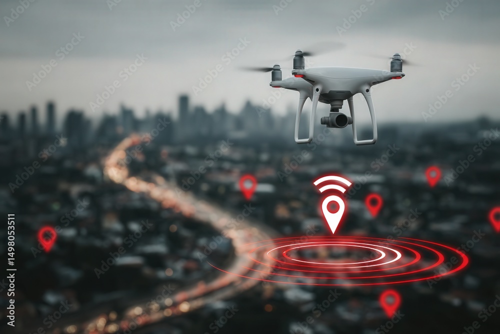
A drone hovers in the air over a bustling city, capturing aerial views amid a cloudy sky. Navigation markers can be seen, suggesting its route or area of interest.
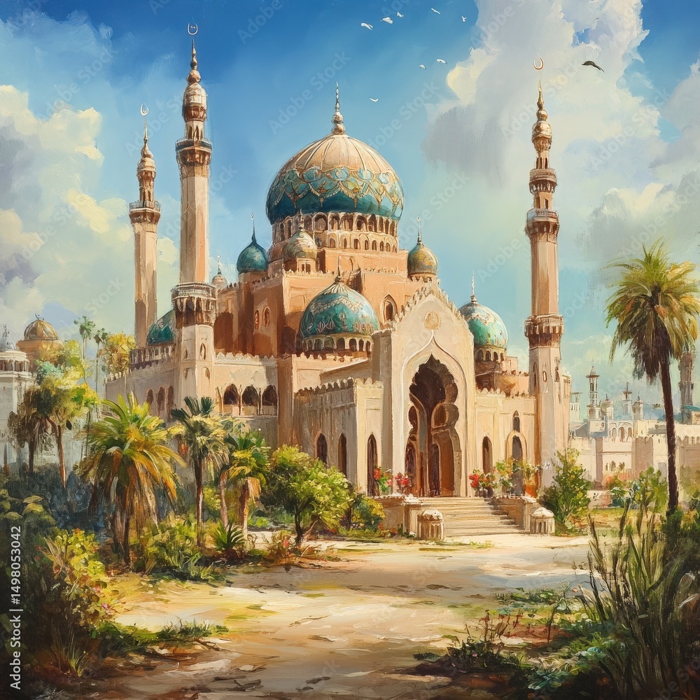
A stunning mosque features beautifully detailed blue domes and tall minarets, nestled among vibrant greenery. The bright sky adds a serene atmosphere to this magnificent structure.
Luminous mosque stands elegantly against a twilight sky, highlighted by a crescent moon. The architecture features towering minarets and intricate designs, reflecting beautifully.
Previous Page
1
…
114
115
116
117
118
…
281
Next Page
We use cookies to ensure that we give you the best experience on our website. If you continue to use this site we will assume that you are happy with it.
Ok