AIHRG Design
About Us
Privacy Policy
Tag Cloud
Terms of Use
Tag:
map
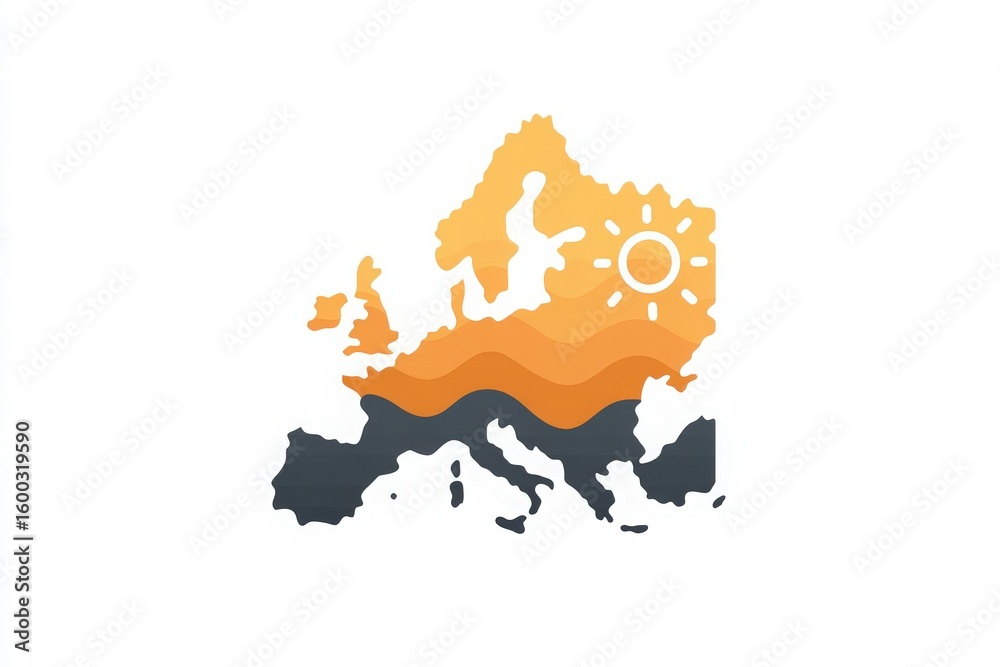
A stylized depiction of Europes map incorporates warm hues and a sun symbol. The artwork demonstrates abstract waves and outlines geographic features, emphasizing creativity.
A detailed map of Europe is displayed, featuring a prominent flame icon at its center. This visual symbolizes current energy challenges, particularly in gas supply.
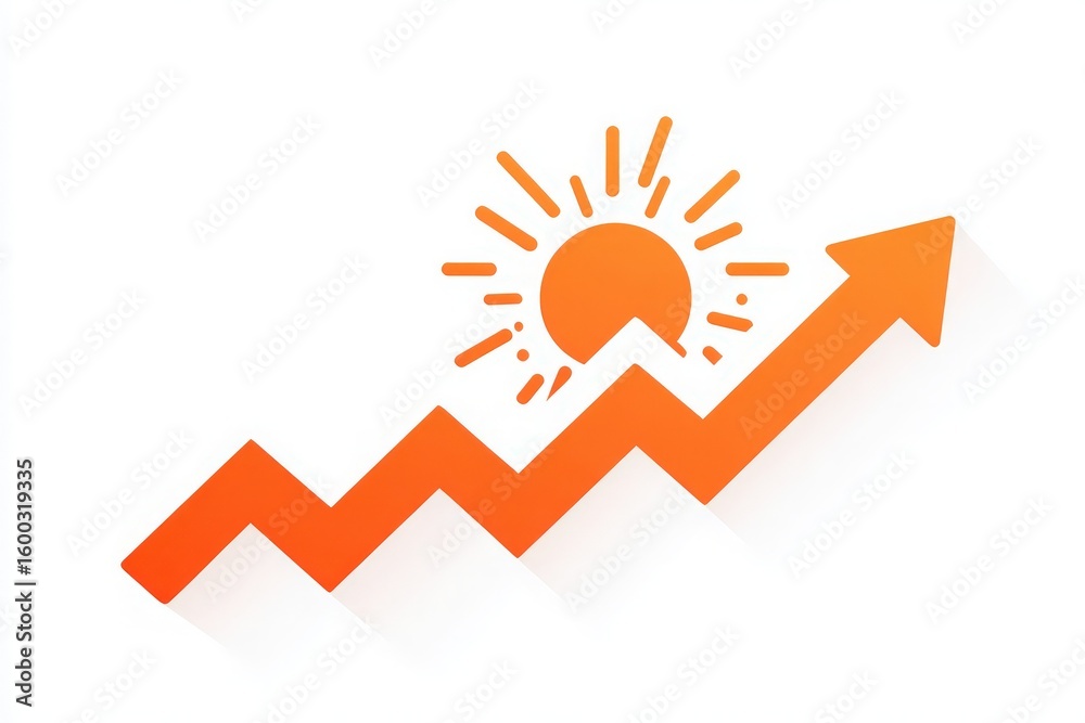
A vibrant graphic illustrates an upward trend line with sharp angles, complemented by a sun symbol in the background. This visual conveys the themes of growth, optimism, and success.
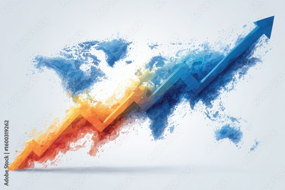
Vivid colors illustrate a rising trend over an artistic world map, highlighting global economic growth. The design features orange and blue arrows symbolizing progress and increase in data.
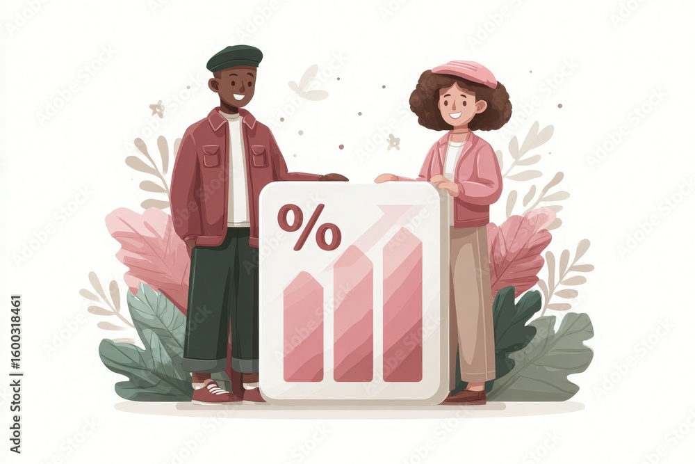
Two children, a boy and a girl, stand together amidst colorful bar graphs and percentage symbols, surrounded by green foliage, symbolizing growth and teamwork in a positive environment.
Two diverse individuals are happily presenting a bar chart that illustrates growth. They are surrounded by soft foliage in a vibrant and welcoming atmosphere, emphasizing teamwork and progress.
Three vibrant tags hang from strings, showcasing outlines of the contiguous United States.
This artistic depiction showcases the map of the United States filled with colorful icons and symbols representing diverse activities and themes related to each state.
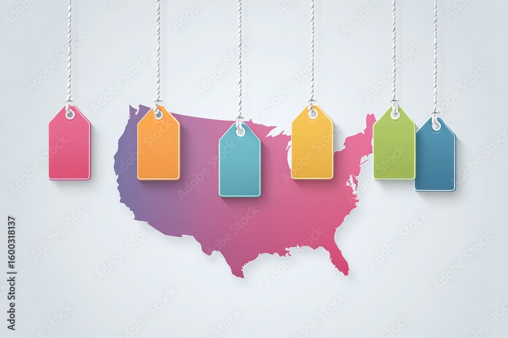
Colorful tags in various shades hang against a gradient map of the United States, showcasing a creative design that blends elements of geography and branding.
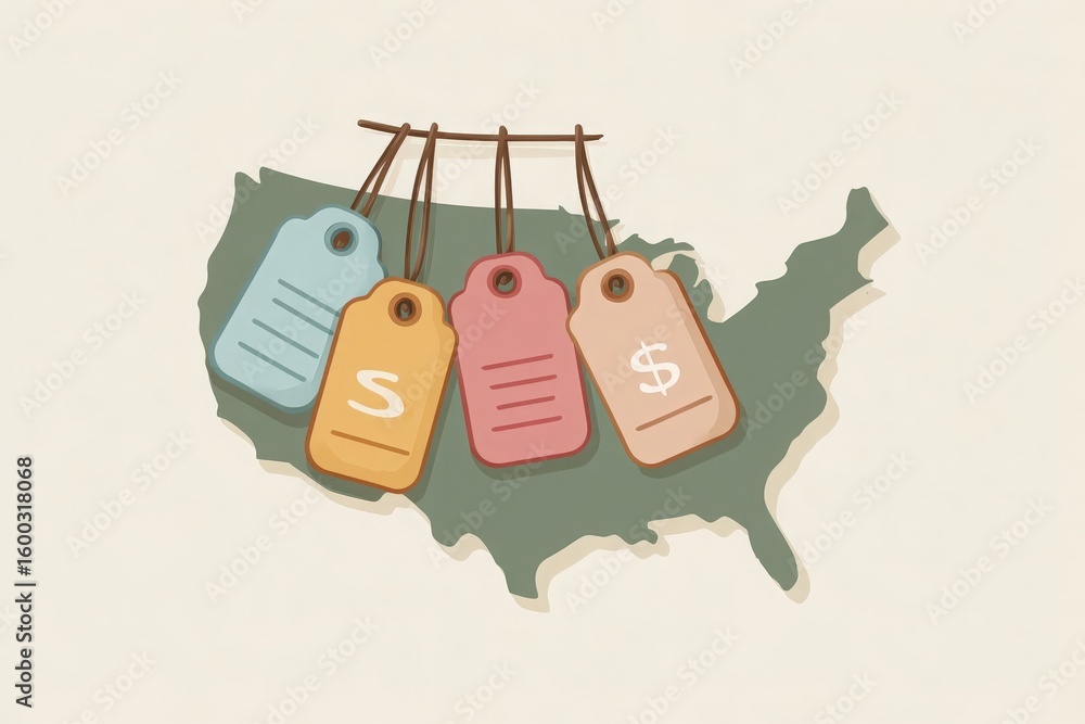
A detailed illustration shows a map of the United States with colorful price tags hanging from the outline.
Previous Page
1
2
3
4
…
31
Next Page
We use cookies to ensure that we give you the best experience on our website. If you continue to use this site we will assume that you are happy with it.
Ok